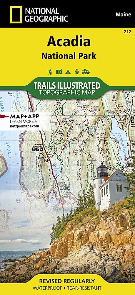
Acadia National Park Map (National Geographic Trails Illustrated Map, 212)
Product ID: 16876096
💧100% Waterproof & Tear-Resistant
📏Scale 1:35,000 for Precision Navigation
🗺️120+ Miles of Trails Detailed
Desertcart purchases this item on your behalf and handles shipping, customs, and support to Tunisia.
🧭 Unlock Acadia’s Secrets with Every Step—Don’t Just Visit, Explore Like a Pro!
The National Geographic Trails Illustrated Map of Acadia National Park is a premium, waterproof, and tear-resistant topographic map featuring over 120 miles of trails, ferry routes, and key points of interest. Designed in partnership with the National Park Service, it includes detailed insets of Mount Desert Island, Schoodic Peninsula, and Isle Au Haut, complete with trail charts, difficulty ratings, and a full UTM grid for GPS navigation. Sized at 25.5" x 37.75" (folded to 4.25" x 9.25"), this map is the essential tool for any serious explorer aiming to experience Acadia’s rugged beauty with confidence and precision.


| Best Sellers Rank | #22,000 in Books ( See Top 100 in Books ) #5 in New England US Travel Books #23 in United States Atlases & Maps (Books) #30 in Maps (Books) |
| Customer Reviews | 4.8 out of 5 stars 355 Reviews |
Trustpilot
1 day ago
2 months ago