Description
🌍 Survey Smarter, Not Harder — Precision in Your Palm!
- RUGGED YET LIGHTWEIGHT - Compact 180g design with ergonomic grooves for a secure grip—built tough to withstand the elements while staying comfortably portable for all-day surveying.
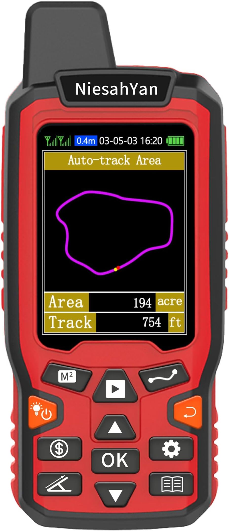
- CLEAR ANYTIME VISIBILITY - 2.4-inch FSTN LCD with backlight ensures your data is crystal clear even in low light or harsh outdoor conditions—no more squinting or second-guessing.
- OPTIMIZED FOR OUTDOOR ACCURACY - Designed for open-air use with quick satellite lock; recommended for areas above 0.05 acres and distances over 328 ft to minimize error and maximize confidence.
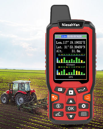
- PRECISION THAT PROFESSIONALS TRUST - Dual high-sensitivity GPS + GLONASS satellites deliver ultra-reliable positioning with an impressive 0.003-acre measurement error—because your land deserves exactness.
- VERSATILE 4 IN 1 MEASUREMENT MODES - Measure areas and distances with straight or curved lines across gardens, ranches, parking lots, and farmland—your all-in-one surveying sidekick.
The ZL180 Handheld GPS is a rugged, waterproof surveying tool featuring dual GPS + GLONASS satellite support for high-precision land measurement with an error margin as low as 0.003 acres. Its 2.4-inch backlit LCD ensures clear readings outdoors, while its lightweight ergonomic design makes it easy to carry and operate. Ideal for professionals managing ranches, gardens, farmland, and parking areas, it offers versatile 4-in-1 measurement modes for both area and distance, optimized for open-air use and large-scale accuracy.