Description
📍 Survey Smarter, Not Harder — Precision in Your Palm!
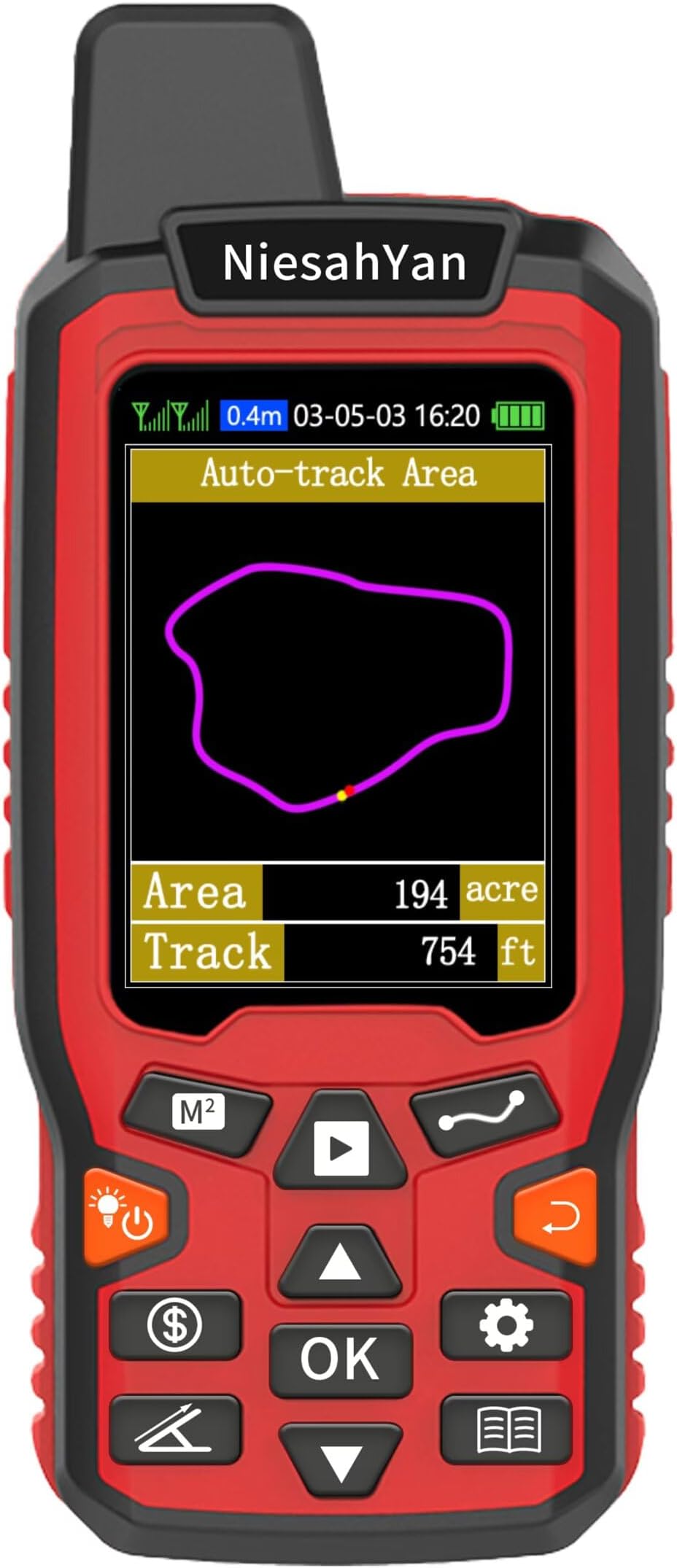
- CLEAR DATA AT A GLANCE - 2.4-inch backlit LCD screen ensures your measurements are visible anytime, anywhere—no guesswork, just results.
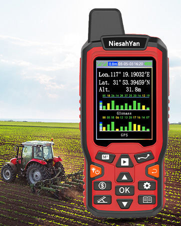
- BUILT TO BRAVE THE ELEMENTS - Lightweight yet rugged, waterproof design means this handheld GPS thrives in ranches, farms, gardens, and parking lots alike.
- PRECISION THAT PROFESSIONALS TRUST - Dual satellite systems (GPS + GLONASS) deliver ultra-reliable positioning with sub-meter accuracy, perfect for high-stakes surveying.
- VERSATILE 4 IN 1 MEASUREMENT MODES - Measure areas and distances—straight or curved—with ease, adapting seamlessly to diverse outdoor projects.
- LONG LASTING POWER FOR EXTENDED USE - Up to 20 hours of battery life keeps you surveying all day without interruption—because your work doesn’t stop.
The ZL180 is a rugged, handheld GPS device designed for professional-grade surveying with dual GPS + GLONASS satellite support, delivering area measurement accuracy within 0.003 acres. Featuring a 2.4-inch backlit LCD, waterproof construction, and versatile 4-in-1 measurement modes, it’s ideal for outdoor use in ranches, farms, gardens, and parking areas. Lightweight and compact with up to 20 hours of battery life, it ensures reliable, precise data collection in challenging environments.